Our DJI Matrice 350 RTK drone, paired with the Zenmuse L2 LiDAR and Emlid Reach for unmatched RTK precision, captures data with exceptional detail and reliability. Combined with our team's decades of experience in CADD design, construction site monitoring, infrastructure management, and wetland science, we transform raw aerial insights into actionable intelligence. Whether modeling complex terrains or assessing environmental impacts, we seamlessly integrate drone-derived 3D data with traditional workflows, closing the divide between field collection and final deliverables to empower your projects with accuracy, efficiency, and foresight.
LiDAR Survey Support
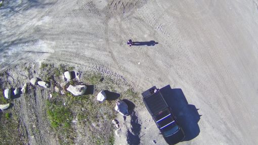
Topographic Surveying for Construction Sites
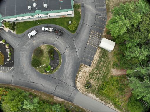
Utility Infrastructure Inspections
Power Line Inspections for Utility Companies
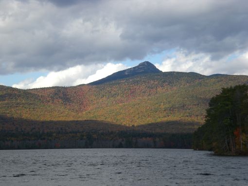
Wetland and Environmental Monitoring
Wetland and Environmental Monitoring