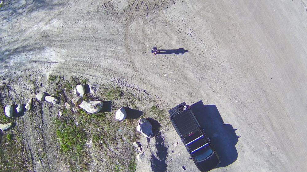
LiDAR Survey Support
Imagine planning a new development on uneven terrain: Our Matrice 350 RTK with Zenmuse L2 quickly scans the site, producing a detailed 3D topographic map with centimeter accuracy. This data integrates seamlessly into your CADD designs, helping calculate cut/fill volumes and identify potential issues early, saving time and costs on groundwork.
NH Springs leverages DJI's Zenmuse L2 technology to perform rapid, accurate scans of terrain and structures. Combined with our capability to generate ground control points creates highly detailed, centimeter accurate point clouds.
We combine this with our team's decades of experience in CADD design, construction site monitoring, infrastructure management, and wetland science, we transform raw aerial insights into actionable intelligence.
Matrice 350 RTK's 55-minute flight time and IP55 rating enable comprehensive coverage in diverse weather, ensuring uninterrupted data collection for large sites.
Zenmuse L2's 240,000 points/second rate and 5 cm vertical accuracy capture intricate contours, ideal for precise AutoCAD Civil 3D surface modeling.
Emlid base station technology provides real-time RTK corrections for georeferenced data, enhanced by our Certified Professional in Erosion Control expertise to mitigate soil displacement risks during site prep