Give Eyes to Your Project
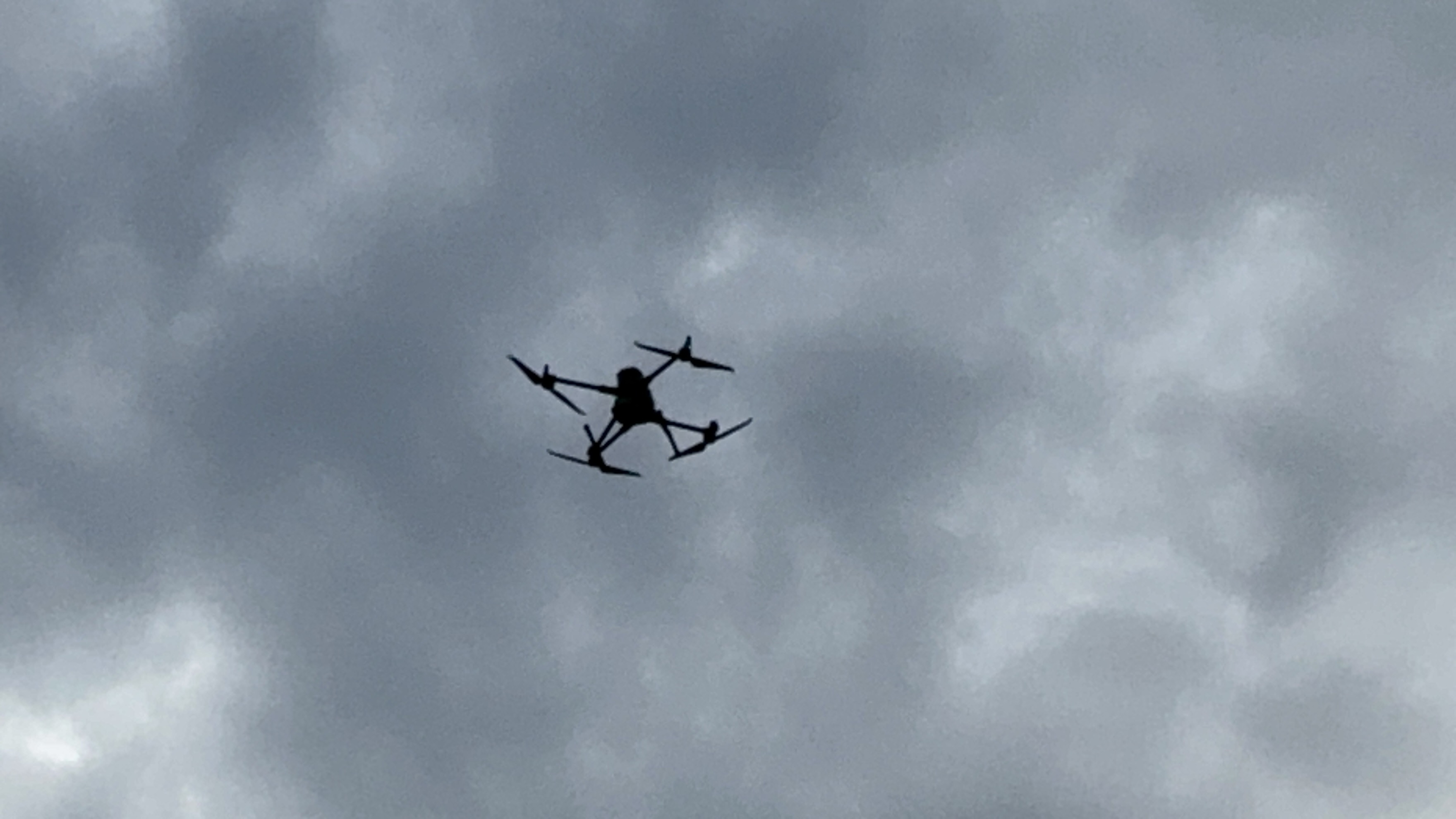
RTK LiDAR mapping integrates Real-Time Kinematic (RTK) positioning with LiDAR sensors on platforms like the DJI Matrice 350 RTK to deliver centimeter-level accuracy in 3D point clouds, enabling engineers and surveyors to produce precise topographic models, volumetric calculations, and infrastructure assessments far faster and safer than traditional ground methods. This technology excels in penetrating vegetation for bare-earth elevations, supporting detailed site planning, construction monitoring, and change detection with reliable data integration into CAD and GIS workflows.

What We Do
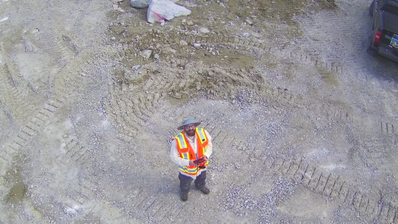
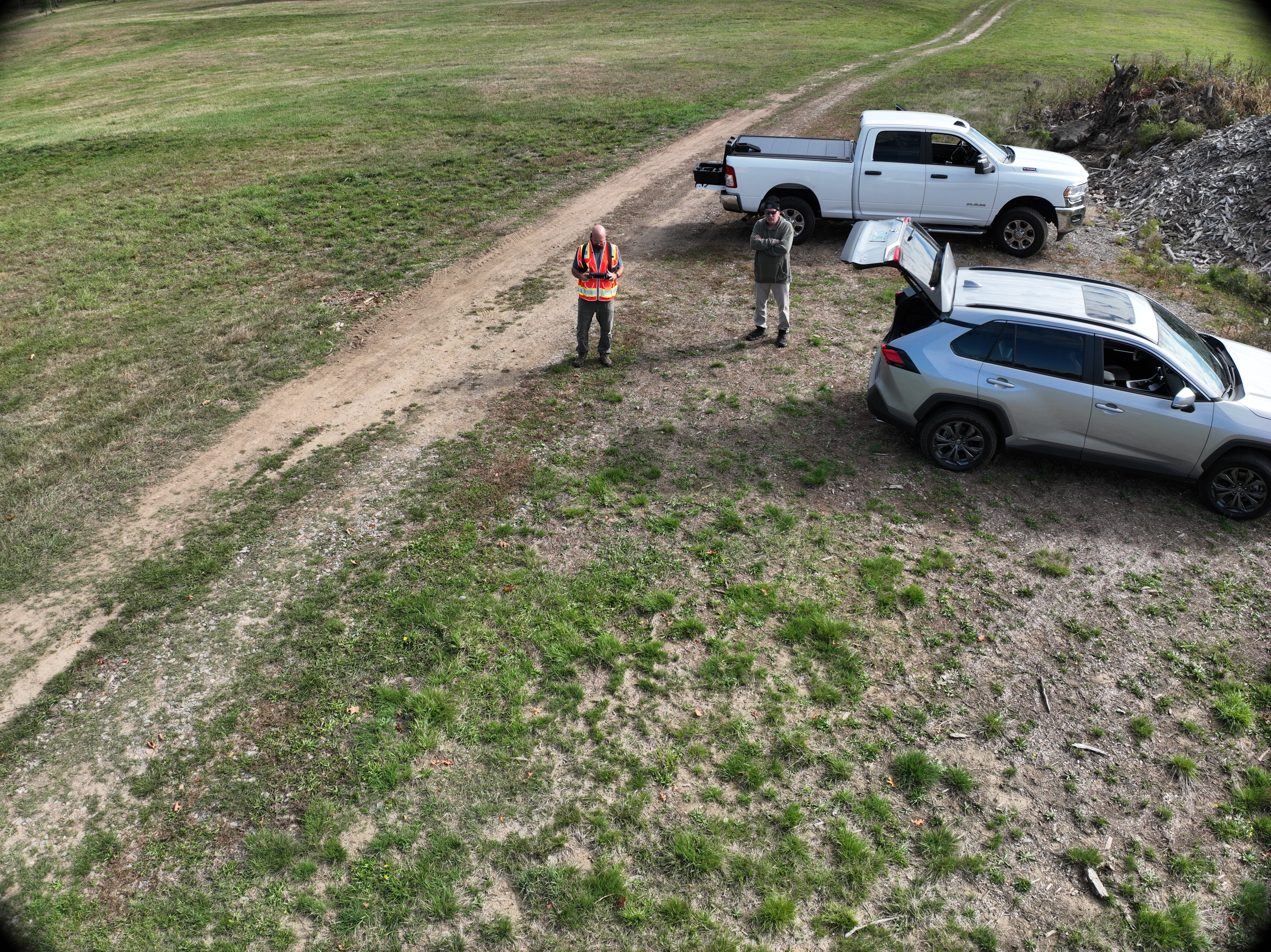
At NH Springs LLC, we specialize in precision aerial data collection and analysis, leveraging state-of-the-art drone technology to deliver unparalleled accuracy in mapping and inspections. Our commitment to safety ensures every operation adheres to the highest standards, minimizing risks while maximizing efficiency. We pride ourselves on exceptional service, tailoring solutions to meet your unique needs with responsive support and timely deliverables. Driven by innovation, we integrate advanced tools like RTK-enabled drones and LiDAR payloads to push the boundaries of what's possible, helping clients in construction, engineering, and environmental sectors achieve superior outcomes with data they can trust.
Engineering and Survey Support
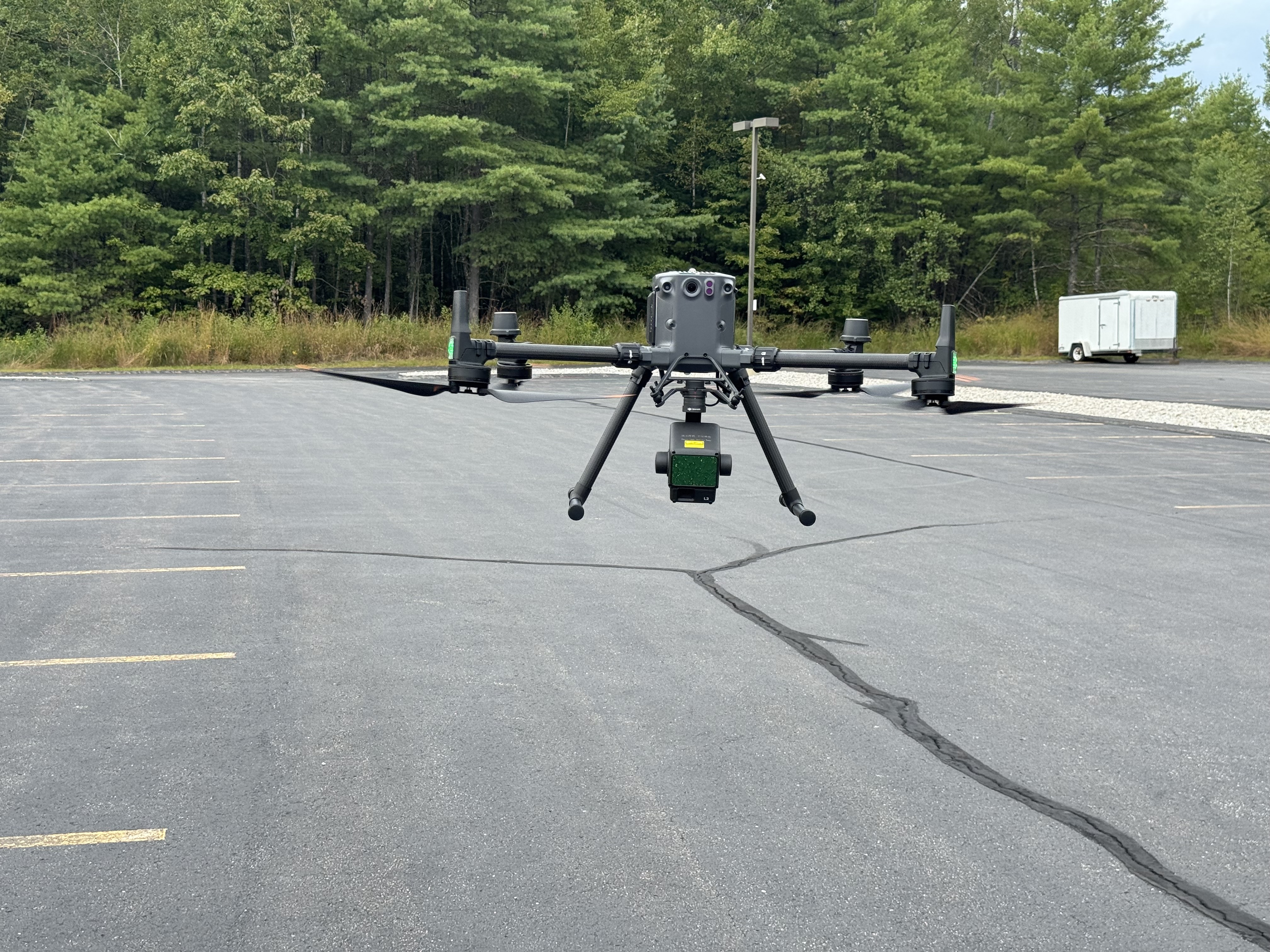
With our DJI Matrice 350 RTK drone equipped with the Zenmuse L2 LiDAR payload and supported by the Emlid Reach RS+ base station, we provide survey and engineering support that delivers centimeter-level accuracy for topographic mapping, site planning, and volumetric calculations. The Matrice 350's robust flight capabilities—up to 55 minutes of endurance and IP55 weather resistance—allow us to cover large areas efficiently, even in challenging conditions. The Zenmuse L2 generates high-density point clouds with vertical accuracy down to 5 cm and horizontal accuracy of 10 cm, enabling precise contour mapping and CAD integration. Whether you're designing new developments or monitoring construction progress, our equipment ensures reliable data for informed decision-making.
Infrastructure Inspections
Our infrastructure inspection services utilize the Matrice 350 RTK's advanced transmission system and the Zenmuse L2's integrated RGB camera and LiDAR sensor to conduct detailed, non-invasive assessments of assets like power lines, bridges, and pipelines. The drone's six-directional sensing and positioning avoid obstacles in complex environments, while RTK positioning from the Emlid Reach RS+ maintains pinpoint accuracy during flights. The Zenmuse L2 excels in detecting subtle defects, such as sagging lines or vegetation encroachment, with a detection range up to 250 meters and a point rate of 240,000 points per second. This setup minimizes downtime and enhances safety by keeping teams on the ground, providing 3D models and thermal insights (via rentable payloads) for proactive maintenance.
Drone Services
Our versatile Matrice 350 RTK platform supports a range of rentable payloads, expanding our offerings to include high-resolution photogrammetry, thermal imaging, and multispectral analysis. For example, we can deploy RGB cameras for aerial photography and videography, ideal for real estate marketing or event coverage. Thermal sensors help in energy audits or search-and-rescue operations, while multispectral options assist in agricultural monitoring or environmental assessments. Backed by the Emlid Reach RS+'s reliable RTK corrections, these services deliver customizable data solutions, from stockpile measurements to wildlife habitat mapping, all with the drone's payload capacity of up to 2.7 kg, ensuring seamless integration and high-performance results.

Culture of Safety
At NH Springs, safety is not just a policy—it's a habit. Safety is the foundation of our operations, embedded in every aspect of our drone services. We foster a culture of safety by prioritizing rigorous pre-flight checks, ongoing pilot training certified by FAA standards, and adherence to all regulatory guidelines, including Part 107 compliance. Our team uses advanced features on the Matrice 350 RTK, such as automated obstacle avoidance and redundant systems, to mitigate risks in the air. We conduct thorough risk assessments for each mission, incorporating weather monitoring and emergency protocols to protect personnel, equipment, and the public.